
Fly into YUM
Yuma International Airport is the local commercial airport. Recent service has included American Airlines connections through Phoenix and Dallas/Fort Worth; confirm current routes and times before booking.
Yuma airport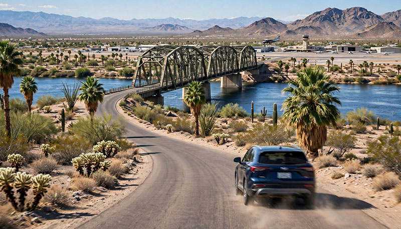
Getting around
Yuma is easy to reach and spread out once you arrive. Here is how to connect the airport, downtown, the desert, and the border without wasting a day.
The short answer
Downtown is compact enough to walk, and the riverfront is good by bike. But the county’s best-known sights are spread across the desert and along the river. A car gives you the most freedom; public transit works for some local trips if you plan around the schedule.
Yuma sits on Interstate 8 and U.S. 95, with an airport on the south side of town and two practical border crossings nearby. The details below are for orientation, not a substitute for current schedules, road conditions, or CBP rules.
Yuma International Airport is the local commercial airport. Recent service has included American Airlines connections through Phoenix and Dallas/Fort Worth; confirm current routes and times before booking.
Yuma airportI-8 runs east-west through Yuma; US-95 connects the city with the river, San Luis, and the southern county. A car is the simplest way to reach Kofa, Castle Dome, Martinez Lake, and the dunes.
ADOT road informationYCAT provides fixed routes, OnCall service, and vanpool options across Yuma County. It is useful for some local trips, but routes and hours are limited; check the schedule before you build a day around it.
YCAT routes and faresUse your feet for downtown and the riverfront, a bike for the path and canal routes, and a car or prearranged ride for the east side and desert. Do not count on finding a rideshare outside the city at any hour.
Cycling routesMatch the mode to the destination
Use this as a quick orientation, then confirm current conditions and hours with the operator or land manager.
| Downtown, prison, riverfront | Walk, bike, or a short drive. Parking is easier away from the busiest blocks; check event closures before you go. |
|---|---|
| Kofa, Castle Dome, Imperial Dunes | Drive. These are remote desert trips with long stretches between services. Carry water, fuel, and a paper map or downloaded directions. |
| Martinez Lake | Drive. Confirm the route and current road conditions, especially after monsoon rain. Services are limited once you leave Yuma. |
| Los Algodones | Drive to the Andrade area, park on the U.S. side, and walk across. Bring your passport and check the port’s closing time before you cross. |
| San Luis | Drive or use YCAT where the route fits. San Luis I is a 24-hour port; pedestrian and vehicle wait times can differ sharply. |
| Yuma airport | Rental car, taxi, or a prearranged ride. Confirm the pickup location and current flight schedule before you arrive. |
The border
Los Algodones is a walkable border town; San Luis is a busier international crossing. Check CBP before either one.
Andrade / Los Algodones
The Andrade port connects the U.S. side with Los Algodones, a compact town known for dental offices, pharmacies, restaurants, and shops. Many day visitors park on the U.S. side and cross on foot. CBP lists limited port hours, so confirm the closing time before you go.
Check CBP wait timesSan Luis
San Luis I connects San Luis, Arizona, with San Luis Río Colorado, Sonora. CBP lists it as a 24-hour port. Vehicle, pedestrian, SENTRI, and Ready Lane waits can be very different; check the live board before you commit.
Check CBP wait timesBefore you cross: bring a passport book or passport card, check current entry rules with U.S. Customs and Border Protection, confirm port hours, and check your rental-car agreement. Rules and wait times change; this guide does not give legal or immigration advice.
On the road
Distances look short on a map and feel longer on a desert road. Carry more water than you think you need, keep your fuel tank above half, and tell someone where you are going when you leave the paved highway. Cell service can disappear between towns.
In summer, heat is the hazard. Do not leave people or pets in a parked vehicle, even for a few minutes. Check the forecast and heat warnings, and move strenuous outdoor plans to early morning or after sunset. If a road is covered with water, turn around.
Last reviewed: November 17, 2026. Schedules, routes, and border rules change. See the source list and editorial policy.
Questions
A car is the most practical way to see Yuma County. Downtown and the riverfront are walkable and bikeable, but the desert refuges, lakes, casinos, and border crossings are spread out. Public transit is useful for some local trips but not a full substitute for a car.
Yes. YCAT operates fixed routes and OnCall service across Yuma, San Luis, Somerton, Wellton, the Cocopah and Quechan reservations, and nearby communities. Check current routes, fares, and service hours before relying on it.
Cross at the Andrade port of entry, west of Yuma. Many day visitors park on the U.S. side and walk across. Bring a passport book or card, check CBP wait times and port hours, and leave enough time for the return line.
Check your rental agreement before you cross. Many rental companies restrict or prohibit travel into Mexico, and Mexican insurance requirements are different from U.S. coverage. Do not assume your U.S. policy covers you.
Yes. The historic core, the prison, Sanguinetti House, and parts of the riverfront are close enough to combine on foot. Use a car or bike for the wetlands, the east side, and the desert sights.
Heat is the main risk. Carry extra water, keep your fuel tank topped up, check the forecast, and do not leave people or pets in a parked vehicle. If a road is flooded, turn around.