
History
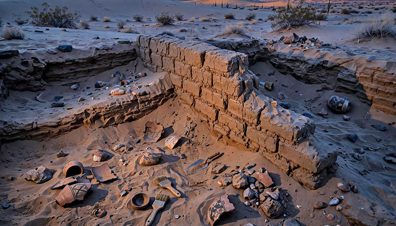
Secrets Beneath the Sand
The Complete History of Yuma
Part 1: The Crossing and the Cage
For centuries, the story of Yuma has been defined by a single geological feature: a narrow gap where the Colorado River is squeezed between two granite outcroppings. This "Yuma Crossing" served as the primary gateway to the West.
Before it was a destination for pioneers, the crossing was the domain of the Quechan people. Their mastery of the river's unpredictable floods allowed them to farm the bottomlands and control the most strategic point in the Sonoran Desert.
In 1849, thousands of "Forty-Niners" funneled through this narrow point to reach the California gold fields. To maintain order, the U.S. Army established Fort Yuma on the heights overlooking the river.
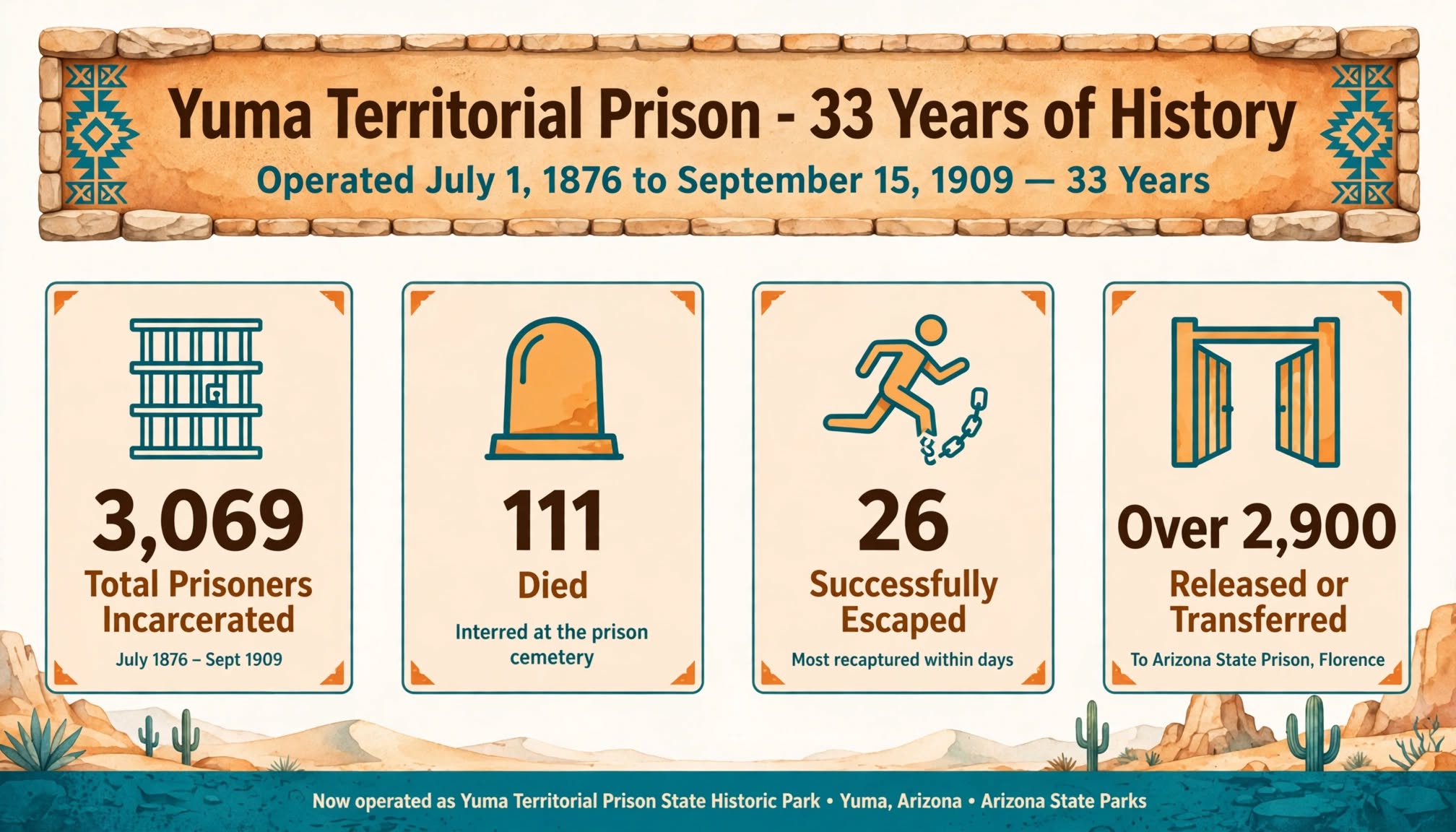
By 1876, the strategic importance of the crossing led to the Yuma Territorial Prison. Built on a bluff by the inmates themselves, the prison featured the first public library in the Arizona Territory and some of the first electrical lighting in the region.
In 1877, the Southern Pacific Railroad bridged the river, rendering the old ferry systems obsolete. When the prison closed in 1909, it left behind a legacy that still defines the city—including the local high school, which still proudly carries the "Criminals" mascot.
Part 2: The Winter Lettuce Capital
Yuma's transformation from a desolate river crossing to a global agricultural powerhouse is a feat of 20th-century engineering.
The foundation was laid with the Reclamation Act of 1902, leading to the Laguna Dam (1905) and the incredible Yuma Siphon (1912)—an inverted siphon that carries irrigation water underneath the bed of the Colorado River.
Today, the region produces approximately 90% of the leafy greens consumed in North America during the winter months. This industry generates billions of dollars annually and employs a significant portion of the local workforce.
Part 3: Mach Speed and Proving Grounds
Home to MCAS Yuma and the U.S. Army Yuma Proving Ground (YPG), the region serves as a critical laboratory for national defense.
MCAS Yuma is the busiest air station in the Marine Corps, supporting roughly 80% of the Corps' air-to-ground aviation training.
At 1,300 square miles, Yuma Proving Ground is one of the largest military installations in the world. It features the longest overland artillery range in the nation and is home to the Military Freefall School.
The military is Yuma County's second-largest economic driver.
Part 4: The Neon Desert
The Kress Building at 284 S. Main Street captures the spirit of Yuma's architectural evolution. Built in 1926, its Art Deco facade has been reimagined as a centerpiece of Yuma's nightlife.
The Yuma Main Street Historic District has seen a wave of investment preserving the past while fueling a modern entertainment economy. The Yuma Theatre, a 1911 treasure, hosts live performances and community events.
The Yuma Crossing National Heritage Area re-linked the historic core to the Colorado River, turning former "trash dumps" into hiking trails and scenic overlooks.
Yuma, Arizona, is a city built on the impossible—crossing an untamable river, building a prison in a wasteland, and watering a desert to feed a continent.
Keep reading
Follow the next thread.
 History
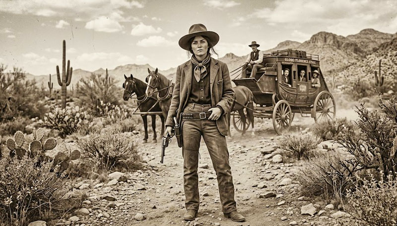
Pearl Hart: The Bandit Queen of Yuma
Pearl Hart robbed a stagecoach, fooled a jury, and escaped Yuma Prison.
Read the story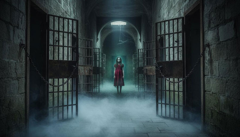 History
The Dark Cell
America's most haunted room. Cold spots, scorched handprints, and a whisper that says Stay.
Read the story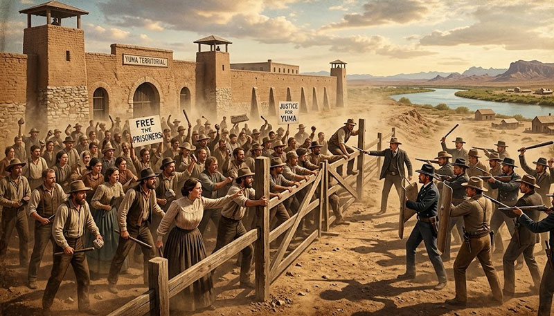 History
The Gates Riot of 1887
Seven desperate inmates attacked the superintendent. The prison nearly broke open.
Read the story